
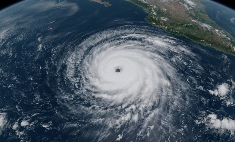
Hurricane Polo has rapidly strengthened into a rare Category 5 storm in the eastern Pacific, with maximum sustained winds reaching 180 mph as the powerful system moves offshore from Mexico.
Polo underwent an extraordinary burst of rapid intensification between Monday and Tuesday. Its winds increased by roughly 110 mph in about 24 hours, taking the storm from a 50 mph tropical storm to a Category 5 hurricane.
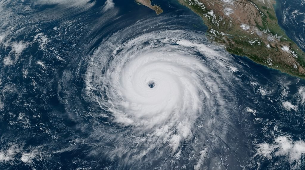
The National Hurricane Center described the pace of strengthening as “truly remarkable,” noting that Polo’s intensification ranks among the fastest observed in the eastern Pacific.
For a storm to qualify as undergoing extreme rapid intensification, its sustained winds must increase by at least 58 mph within 24 hours. Polo significantly exceeded that threshold.
The storm’s 180 mph winds also put it among the strongest tropical systems recorded anywhere on Earth so far this year, matching the peak winds of two super typhoons in the western Pacific.
Warm Waters Help Fuel Polo’s Explosive Growth
Polo has developed in an environment that is highly favorable for strengthening, including unusually warm ocean water associated with a strong El Niño pattern.
Scientists have also linked the broader trend toward warmer oceans and increasingly rapid hurricane intensification to human-caused climate change. Warmer ocean temperatures can provide tropical systems with additional energy, although individual storms are influenced by several atmospheric and oceanic conditions.
Polo’s rate of strengthening is notable when compared with some of the eastern Pacific’s most intense storms. Hurricane Patricia holds the region’s 24-hour rapid-intensification record after its winds increased by about 120 mph in 2015. Hurricane Otis, which devastated Acapulco in 2023, strengthened by approximately 105 mph in 21 hours before making landfall.
Polo Expected to Remain Offshore
As of Tuesday, Hurricane Polo was located several hundred miles south-southeast of Manzanillo, Mexico. Forecast guidance indicates that the storm’s strongest hurricane-force winds should remain offshore as Polo turns northwest and moves roughly parallel to Mexico’s southwestern coastline.
The hurricane was moving southeastward at the time, but forecasters expected it to turn toward the northwest Tuesday night.
Although the core of the hurricane is expected to stay away from the coast, parts of southwestern Mexico could still experience dangerous weather.
Tropical storm alerts are in effect along sections of the southwestern Mexican coast, where tropical storm conditions could arrive as early as Wednesday.
Heavy Rain Could Become the Biggest Threat
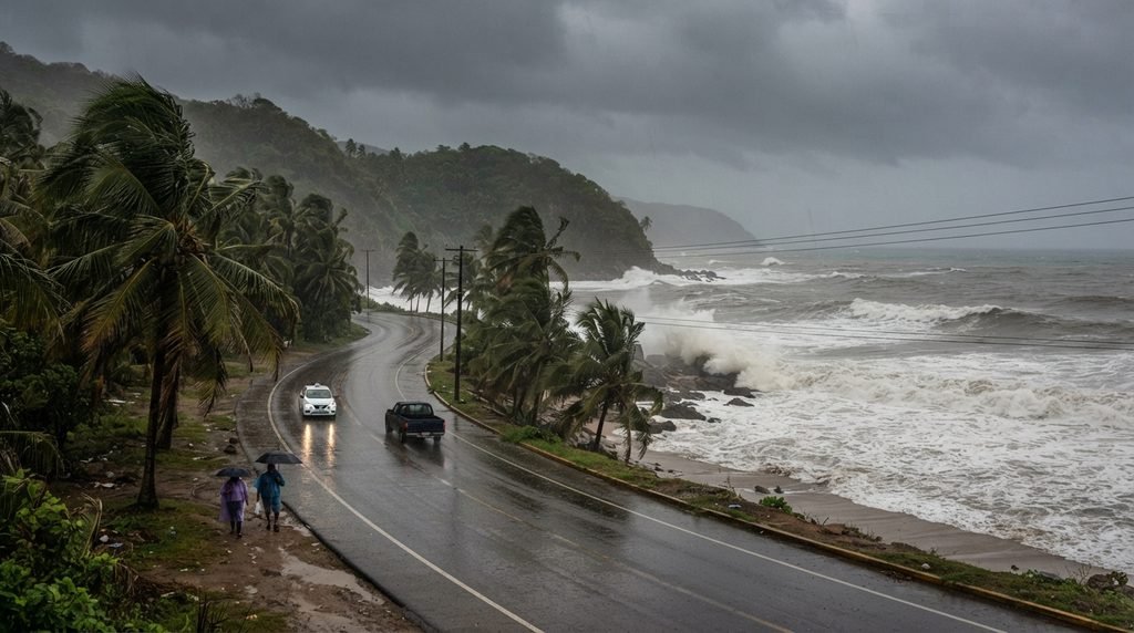
Rainfall is expected to be Polo’s most significant threat to land areas.
Parts of Guerrero and Michoacán could receive between 3 and 6 inches of rain through Thursday, with isolated locations potentially receiving as much as 8 inches. Coastal areas of Oaxaca, Colima and Jalisco could see another 2 to 4 inches.
The heavy rainfall could trigger life-threatening flooding and mudslides, particularly in areas vulnerable to runoff and landslides.
Even with the storm’s most powerful winds expected to remain offshore, residents along Mexico’s southwestern coast should continue monitoring official forecasts and local warnings as Polo moves through the region.